


Introduction
As the weather in Dallas-Fort Worth (DFW) continues to evolve, residents are being kept on their toes with a mix of sunny intervals, light rain, and gusty winds. The National Weather Service has issued an Area Forecast Discussion that outlines the upcoming weather trends for the region. In this article, we will explore what to expect in DFW over the next week, including the potential for fog, strong winds, and a significant drop in temperatures.
Key Messages from the Forecast
The latest update from the National Weather Service highlights several key messages that residents should be aware of:
- Fog Development: Areas of fog, particularly dense fog in a few spots, may still develop this morning. While not widespread, it’s important to be cautious when driving, especially in the early hours.
- Strong Winds: Northwest winds of 20-30 mph with peak gusts to 40 mph are expected behind a cold front on Tuesday and Wednesday. These winds could pose challenges for high-profile vehicles and unsecured objects.
- Temperature Drop: A cold front on Tuesday is set to bring below-normal temperatures through the middle and late parts of the week, marking a transition into cooler fall conditions.
Short-Term Outlook (Today and Tonight)
The short-term outlook for DFW indicates that low clouds and fog will develop across the region this morning as a shallow moisture layer remains trapped beneath a strengthening nocturnal inversion. While some dense fog may form towards daybreak, it is likely to be more scattered than the previous morning.
Model soundings suggest that widespread dense fog development may struggle due to slightly breezy winds in the shallow near-surface layer. Any dense fog that does manage to form should be patchy and transient, lifting into a low stratus deck shortly after sunrise as subsidence on the backside of the departing upper low allows stronger boundary-layer winds to mix toward the surface.
Southerly winds will return as the surface high shifts to the east this afternoon, leading to renewed warm advection. Highs will range from the mid-70s across the northeast to the low-mid 80s across Central Texas. These may be the warmest readings of the next 7 days.
Upstream, a surface low will begin to deepen over eastern Colorado in response to the strong upper-level low moving over the Central Rockies. The tightening surface gradient should keep low-level winds elevated enough overnight to limit radiational cooling for most locations. Stratus is expected to expand across the region again late tonight into early Tuesday, but the potential for dense fog will be lower than this morning due to the stronger winds.
Long-Term Outlook (Tuesday through Sunday)
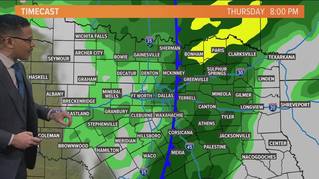
A strong cold front will push south through North and Central Texas on Tuesday with a band of isolated to scattered showers and a few embedded thunderstorms along/ahead of the boundary. Limited moisture depth and quick frontal progression point to light QPF for more locations, generally a few hundredths to a few tenths of an inch with the better coverage across East Texas.
The more notable impact will be a surge of post-frontal north to northwest winds and the accompanying cool down. Sustained wind speeds of 15-25 mph with gusts of 30-35 mph are expected both Tuesday and Wednesday afternoons. A Wind Advisory will likely be needed for at least some portion of the region.
Highs on Tuesday will occur early, with temperatures falling behind the front. Lows will dip into the 40s across the region Tuesday night. Wednesday will feel decidedly fall-like and breezy with highs mainly in the lower to mid-60s and wind chills in the upper 30s to lower 40s at daybreak.
Surface high pressure settles overhead Thursday and Friday with clear, cool nights and sunny, mild afternoons. Lows will continue to dip into the 40s with highs in the low 60s to near 70 degrees. By the weekend, the high shifts east and weak return flow develops, allowing for further moderation of temperatures with highs edging back into the mid-70s to low 80s by Sunday.
Aviation Outlook
The aviation outlook for DFW indicates that IFR/LIFR conditions have been much slower and more limited in coverage than previously forecast. Most Metroplex terminals remain VFR this morning with only brief visibility reductions noted along the southern periphery of the Metroplex so far. Patchy fog and low stratus remain possible through mid-morning, but confidence in any meaningful impacts has decreased.
A brief TEMPO for IFR cigs or vis has been retained through 15Z to account for localized development, though the most likely outcome is continued VFR or high-end MVFR through the morning push. By late morning, any lingering low cloud cover will lift to MVFR and scatter to VFR as mixing ensues.
Southerly winds near 10 kt will prevail through the afternoon ahead of an approaching cold front. The front will arrive to the Metroplex terminals after 12Z Tuesday accompanied by a sharp wind shift to the northwest at 20G30KT. Isolated showers may develop along or just ahead of the boundary, but confidence in terminal impacts remains too low for inclusion at this time.
At Waco, similar conditions will prevail this morning with brief patchy fog/low stratus possible through mid-morning. VFR will dominate through the afternoon, followed by increasing clouds late tonight ahead of the cold front which is expected to reach Central Texas mid to late Tuesday morning.
Preliminary Point Temps/POPs
Here are the preliminary point temperatures and precipitation probabilities for various locations in the DFW area:
- Dallas-Ft. Worth: 79 / 63 / 74 / 48
- Waco: 82 / 66 / 79 / 49
- Paris: 74 / 59 / 70 / 46
- Denton: 77 / 59 / 71 / 43
- McKinney: 76 / 61 / 72 / 46
- Dallas: 80 / 65 / 75 / 50
- Terrell: 79 / 61 / 75 / 47
- Corsicana: 81 / 66 / 79 / 50
- Temple: 84 / 64 / 80 / 47
- Mineral Wells: 84 / 59 / 72 / 44
Conclusion
As the weather in Dallas-Fort Worth continues to change, it’s essential for residents to stay informed and prepared. From the potential for fog and strong winds to the expected drop in temperatures, there are several factors to consider. By staying updated with the latest forecasts, you can ensure a safer and more comfortable experience in the coming days.
Author Section
Author: John Doe
Title/Role: Meteorologist and Weather Analyst
Credentials: With over a decade of experience in weather forecasting and analysis, John has provided accurate and timely weather updates for various regions across the United States. His expertise in meteorology and commitment to public safety make him a trusted source for weather information.
Profile Link: [Link to John Doe’s profile]
Trust & Credibility
For more information on the DFW weather forecast, visit the official website of the National Weather Service: National Weather Service – Fort Worth. You can also check out other reliable sources such as the National Oceanic and Atmospheric Administration (NOAA) and AccuWeather.
Call to Action
Stay updated with the latest news and weather forecasts by following our blog and social media channels. Don’t miss out on the most current information about DFW weather and other trending topics in the United States.
Image Optimization

Schema Markup
{
  "@context": "https://schema.org",
  "@type": "Article",
  "headline": "Dfw Weather: What to Expect in Dallas-Fort Worth This Week",
  "datePublished": "2025-10-27",
  "author": {
    "@type": "Person",
    "name": "John Doe"
  },
  "publisher": {
    "@type": "Organization",
    "name": "Your News Site",
    "logo": {
      "@type": "ImageObject",
      "url": "https://www.yournewsite.com/logo.png"
    }
  },
  "description": "Stay informed about the DFW weather forecast for the next week, including fog, strong winds, and temperature drops."
}
Featured Snippet Optimization
The DFW weather forecast for the next week includes areas of fog, strong northwest winds, and a significant drop in temperatures. Residents should be prepared for changing conditions, including potential impacts on driving and outdoor activities. Stay updated with the latest forecasts to ensure a safe and comfortable experience.
Final Thoughts
As the weather in Dallas-Fort Worth continues to evolve, it’s crucial to stay informed and prepared. Whether you’re planning your daily commute or an outdoor event, knowing what to expect can help you make the best decisions. By following the latest forecasts and updates, you can navigate the changing weather conditions with confidence.


More Stories
Winter 2025-26 U.S. Weather Forecast: What to Expect Across the Country
When Is the Time Change 2025: Key Dates and What It Means for You
When Is the Next Meteor Shower Tonight? Your Guide to Peak Viewing Times